|
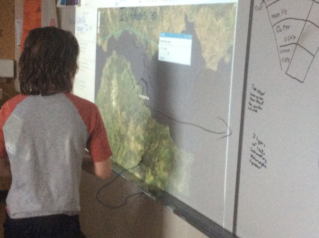
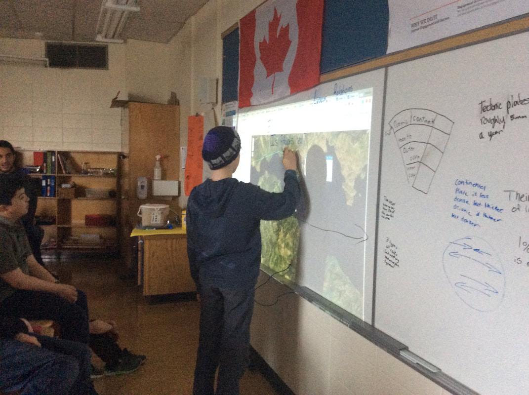
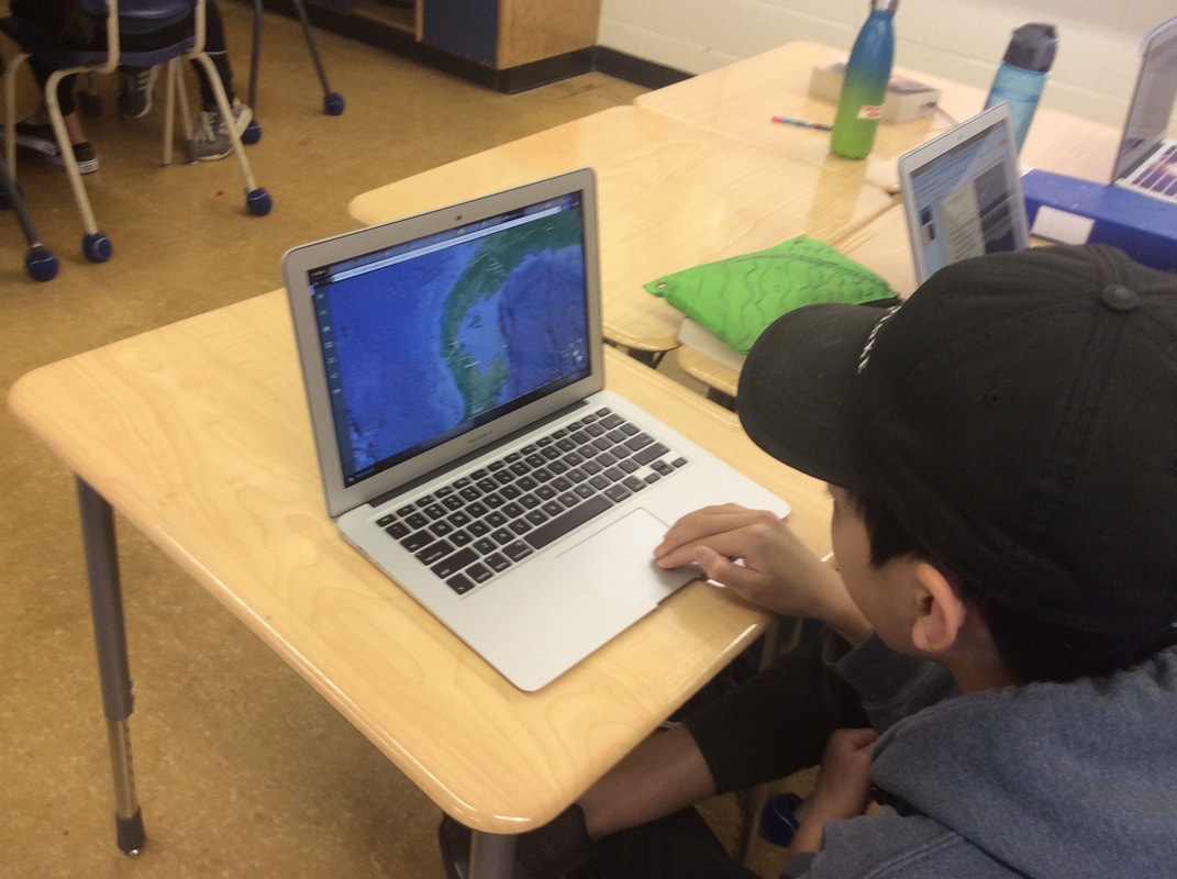
Students have been applying their background information of tectonic plates and geological concepts to find the most dangerous and safest places to live on Planet Earth. ARCGIS, a geographic information system, is being used to research the globe and look for the effect of plate boundaries on natural disasters and landforms.
0 Comments
Leave a Reply. |
Mr. BennettThank you for visiting the Math + Science blog. Visit regularly to see what interesting work we are doing. Archives
April 2019
Categories |

 RSS Feed
